Walking
Following a Father’s Day breakfast of egg, bacon, toast and fresh coffee, prepared for me by Jeremy, I had a couple of hours walking across the fields.
Following a Father’s Day breakfast of egg, bacon, toast and fresh coffee, prepared for me by Jeremy, I had a couple of hours walking across the fields.
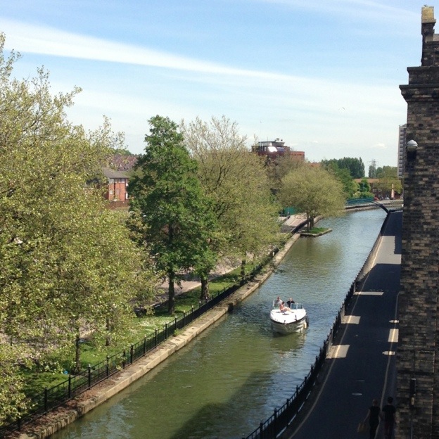
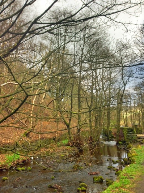
A great day for a walk – along the Witham from Lincoln to back home.

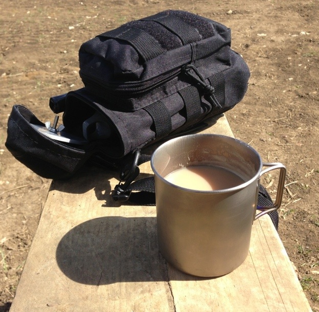
I carried a light load, brew kit and snacks, water, first aid kit and a rain jacket in a lightweight pack. I didn’t need the rain jacket.
Walk along the River Witham Read More »
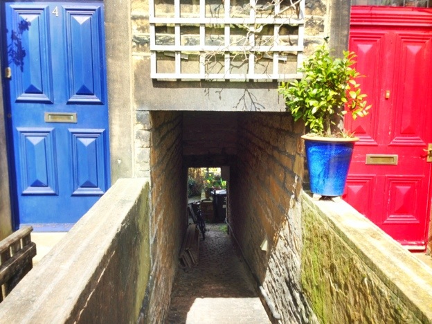
This window was in Lincoln along the side of the Witham.
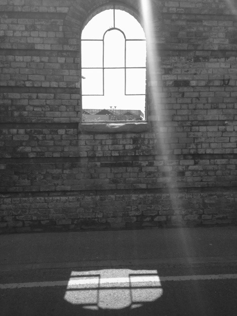
Shot using the Apple camera app set to HDR, straight into the sun.
Through the Arch Window… Read More »
A friend of mine is about to start Wainwright’s Coast to Coast walk.
Nicky and Bev are raising money for charity and we can all follow their progress over the next twelve days on her blog:
Good luck
Mission Coast 2 Coast Read More »
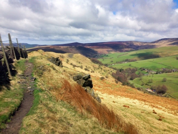
The weather was variable today so I planned a short circular walk out into the hills and back through Hayfield – see here it shows all the weather in one photo.
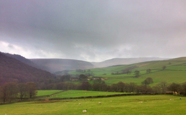
click on the above image for a larger version
It was a good walk the only problem was I could not find a cafe in Hayfield, several pubs and hotels none of them very inviting – all I wanted was tea and a sandwich, so I ended up just walking back to the camp site where I made my own sitting out in the sun shine.
Camping in the Peak District pt4 Read More »
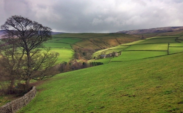
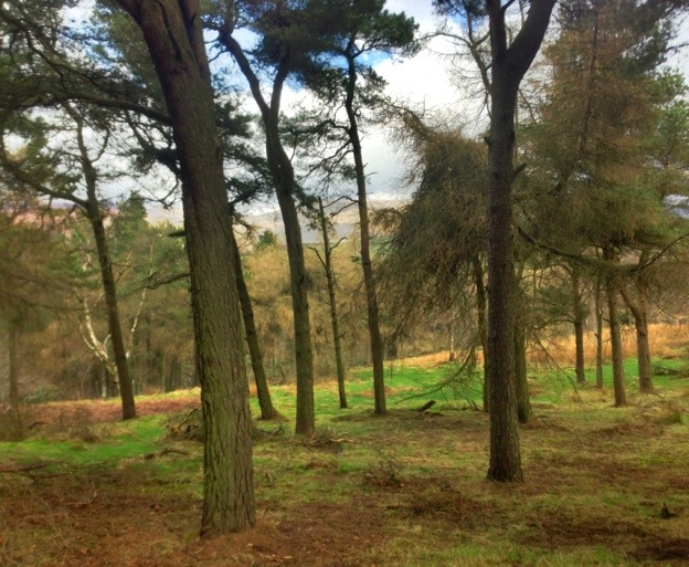
With the variable weather I walked out to Mount Famine and then back to the campsite via Hayfield village.
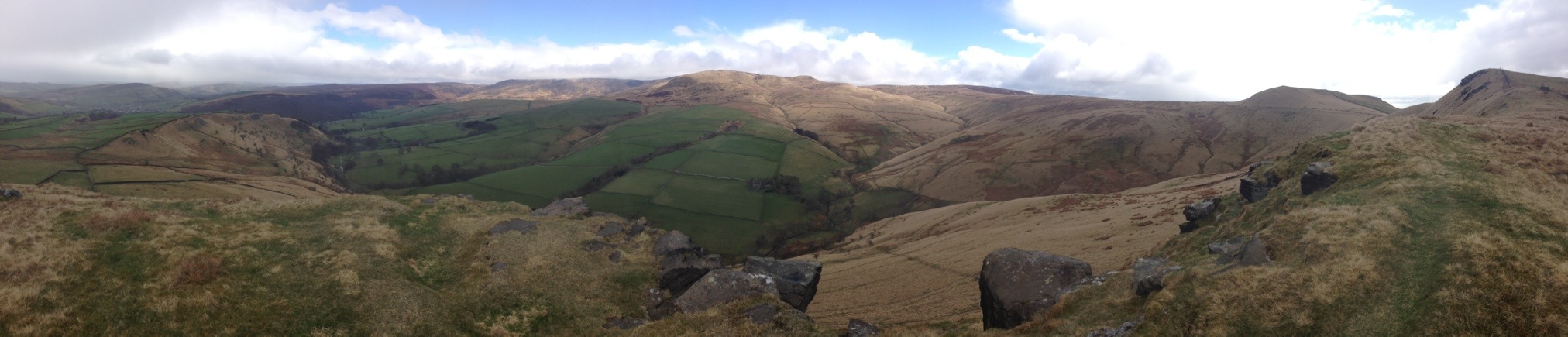
click on the above image for a larger version
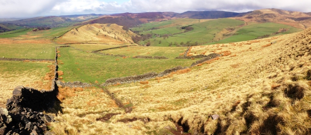
I was being severely buffeted by the wind whilst I was making this panoramic shot and after three attempts I had to stop as my hands were getting too cold. Ten minutes later as I was coming down from the summit the sun came out!
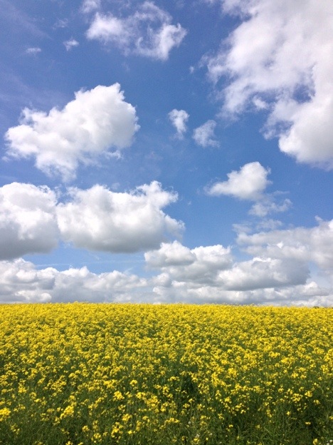
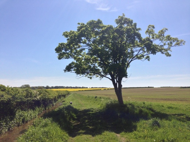
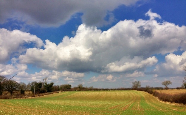
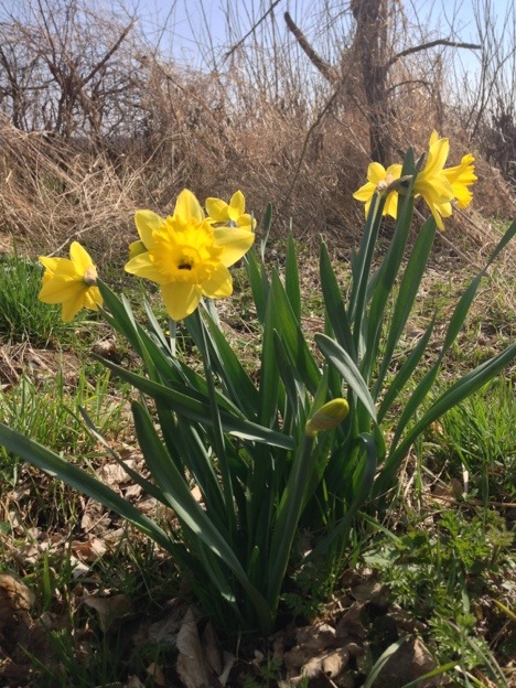
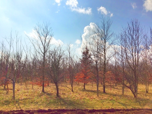
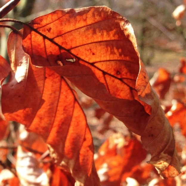
A short walk across the fields today – with Spring finally showing.
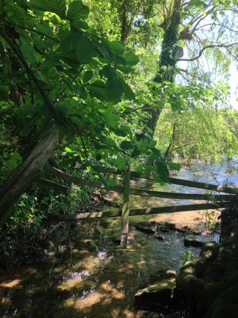
I found a convenient style and made some tea.
Walking in Lincolnshire Read More »