technology

Tay Forest pt2

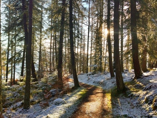
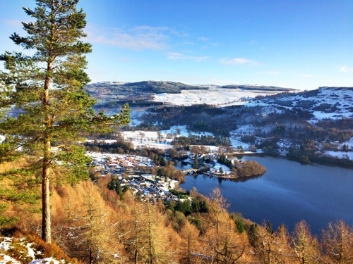
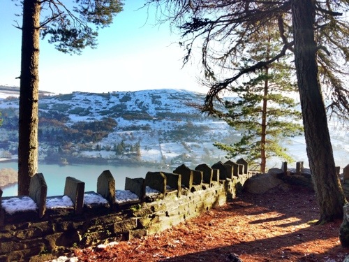
The sunny day gave some great views and added extra highlights to the snow shots. Many of the paths though were really muddy – and some would be best described as streams – it shows how much rain there has been.

20130116-102802.jpg

20130116-102824.jpg

20130116-102924.jpg

20130116-102958.jpg

this is a panoramic shot taken using the Apple camera app

20130116-103119.jpg

I had lunch at the Black Rock view point – above the view at lunch

20130116-111155.jpg

there was a lot of logging activity in the forest – it meant changing my planned route several times but it did supply some material to photograph

20130116-111356.jpg

20130116-103134.jpg

I could not post this last night as I had no 3G signal and I have given up on Diamond Resort’s Swisscom Internet. At first I put it down to local conditions but as it persisted this morning I called T-mobile, free from my phone (150), to see if they could help. I had to then pay a reasonable 25p to talk to the support staff but after a couple of minutes discussing the issue with him, he updated the service to my phone – I rebooted it – and it was back on 3G. I have no idea why this happened but the help I got from T-mobile was first class – and I was pleased to let them know this via the text they later sent me.

Tay Forest pt2 Read More »

Last photo on my iPhone 4

20130104-091539.jpg

I am about to swap my phone over to an iPhone 5. So having used the iPhone 4 to both take the photos and post articles to my blog for the last two years – this is probably my last photo and post using it.

The phone has been reasonably reliable – except for the reoccurring speaker issue, so I have bought an AppleCare Plan with the new phone just in case I have a similar hardware problem. I have been pleased with the phone and after we get it serviced Diana is going to start using it.

Why change? I really wanted the better camera the iPhone 5 offers.

I am writing a series of articles for the Octagon website about changing and setting up an iPhone – read more here. and watch out for the first photo and blog post from my iPhone 5.

Last photo on my iPhone 4 Read More »

Pennine Way Route – .gpx

Pennine Way Route

Pennine Way Route gpx file is available on the Downloads page. This route was created using Memory Map on my laptop and then used in the field on my smartphone – read more about my backpacking tech here.

This English National Trail connects Edale to Kirk Yetholm crossing the backbone of the country, passing through a number of National Parks. Near Keld it also crosses Wainwright’s Coast to Coast path.

Fifty Years of the Pennine Way

Pennine Way Route

Free Downloads

I have a selection routes, in GPX format and a lightweight backpacking gear list  spread sheet available for free download – see here.

Loading gpx Files into Memory Map on the iPhone

Read my article – here – on how I keep my Memory Map files in Microsoft OneDrive so they are available on my iPhone.


This article is sponsored by Octagon Technology – suppliers of hosted secure email compatible with CJSM Secure eMail – Criminal Justice Secure eMail

Pennine Way Route – .gpx Read More »