Saturday’s Photos
I was out on a job today and saw this interesting memorial in the grounds of St Helens Church.
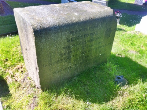
There are two cannon balls at the base that have been made into vases and the impact of a cannon ball can be clearly seen on the granite block. It was erected around 1858.
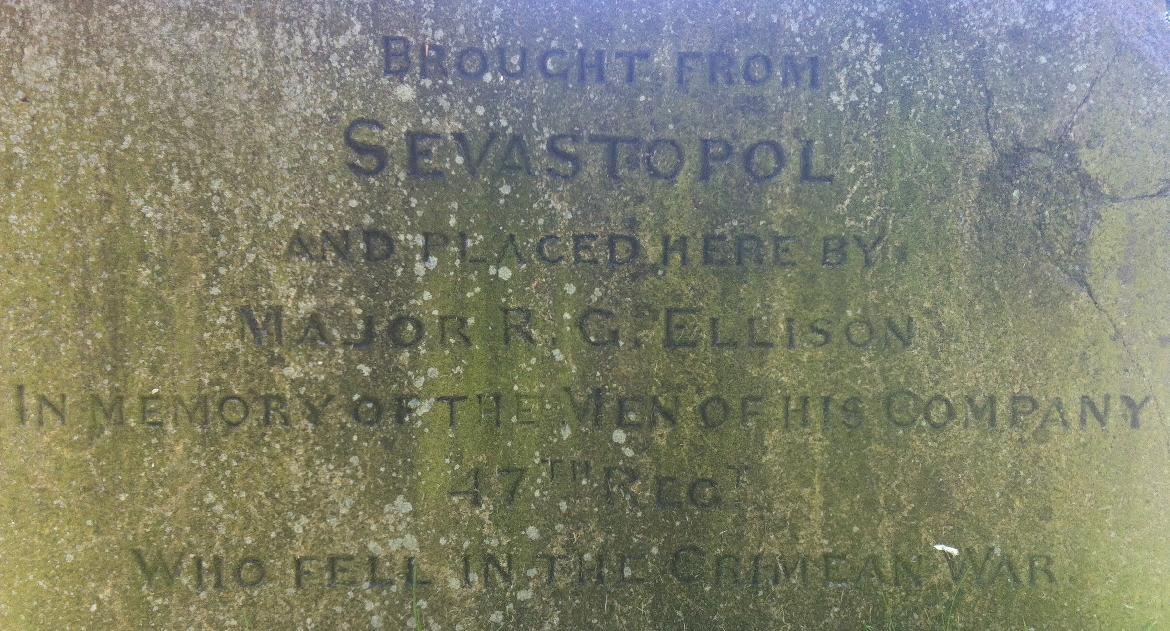
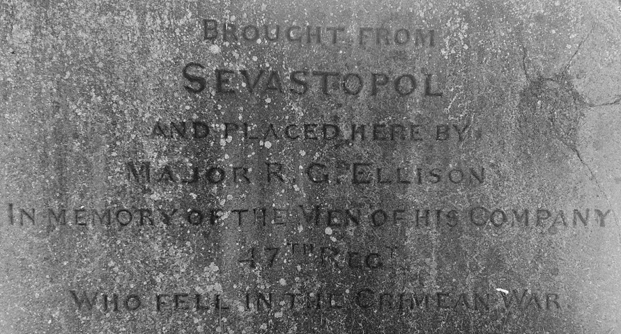
Here are the words cut into the face of the stone – click on the image for a full-sized version.
I have increased the contrast in this mono image to make the text more readable.
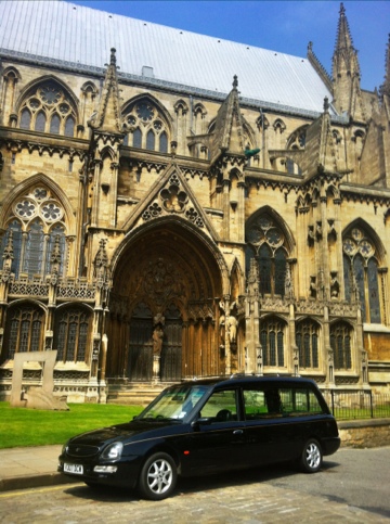
I was asked to take some photographs of my friend’s limousines today, for his website. Before leaving to take the photographs he gave the cars a polish (as he does before every job).
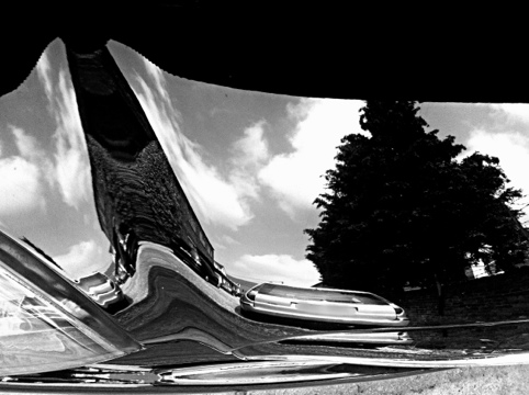
This shot of the reflection in the bonnet was shot on my iPhone – the photos for his website were made using a Nikon on loan to me from another friend.
This is another iPhone photo.
I’ll post a link to the photos on Jonathan’s site when he puts them up.
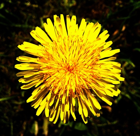
The photo I posted yesterday as part of my “Photo a Day” project had been post processed to give the final image.
The original image was taken with Camera+.

Although I have got a copy of 645 Pro, which is a good camera replacement app for an iPhone, I find Camera+ so much quicker to use and it returns great images. In this situation the dandelion was moving in the wind so being able to shoot at the moments it was still was essential, as it was nearly half of the images I took were blurred.
I used the Apple Picture app to sort through the images, firstly to delete all the ones where the framing was off or they were blurred and then to select the final image I was going to work on.
I was pleased with this initial image – it shows the detail of the seed head against a vague green background but I wanted to see if I could bring out some of the details and improve the impact of the final image.
This meant using my favourite iPhone image processing app Photogene2. One of the features of the app is that you can save your own custom image filters – and this I have done.
I have created a low exposure, high contrast mono filter, that creates an image similar to those I used to regularly print in my black and white “wet” darkroom, but on the way to creating this filter I also saved a version of the effect but without applying a grey scale to the image – so it is still colour. It was this filter I decided to apply as it would emphasise the white seed parachutes and reduce the influence of the backgound. This I think it did with good results.

If you click on either of the above images they link to full size versions (2592 x 1936 pixels) so you can examine the details.