Walking

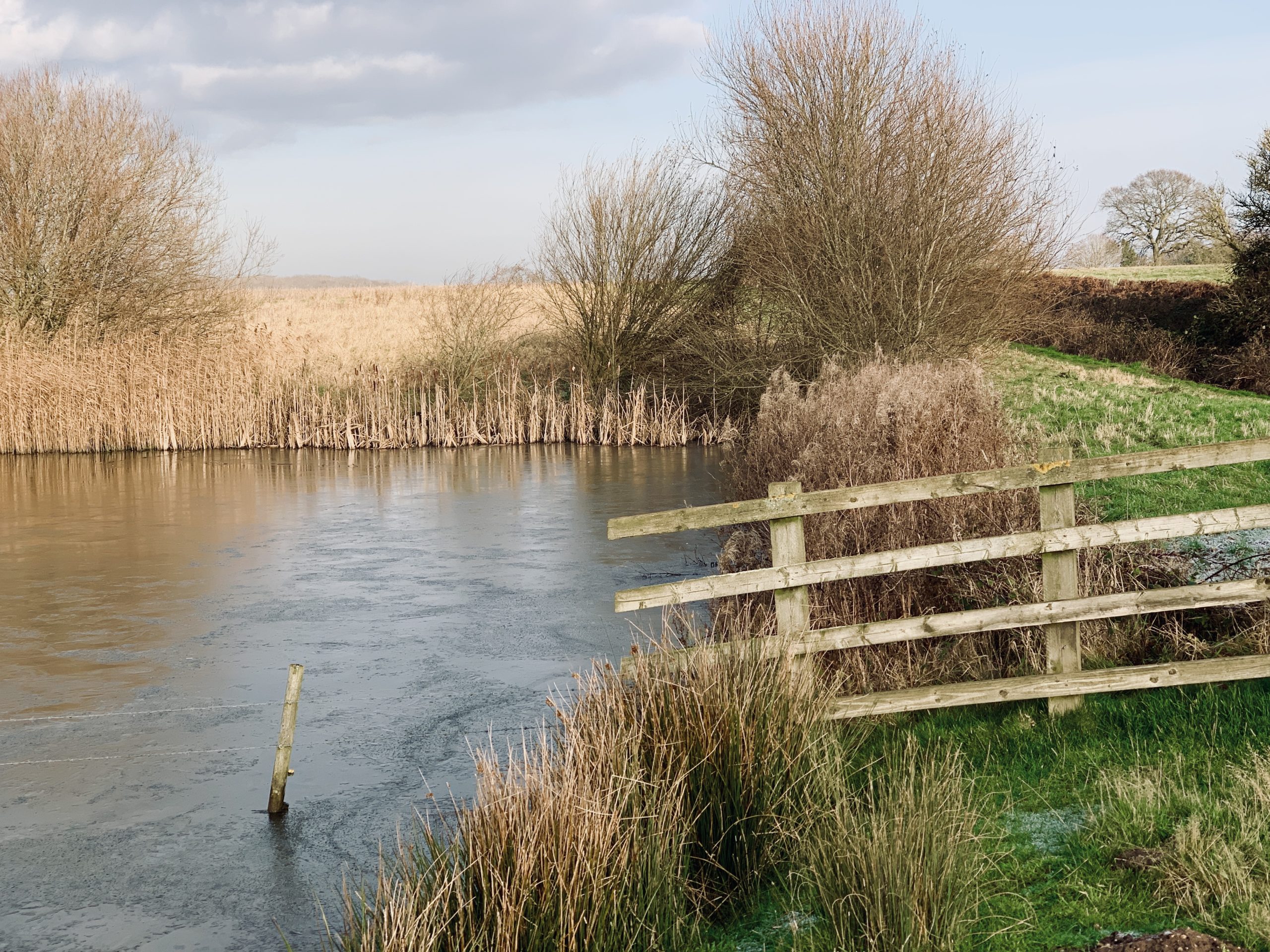
Walking in the Rydal Valley

The weather improved today so I travelled a few miles up the road past Rydal, parked and went walking and geocaching. Geocache score for the day 2.

Helm Crag
I think the rainbow is on Helm Crag

I crossed the river between Grassmere and Rydal Water and climbed up from there towards Loughrigg Fell. It stayed dry and sometimes sunny where I was but I could see the rain in the distance.

Fell walking in the Lake District

Loughrigg Terrace
Loughrigg Terrace

Lake District Fell

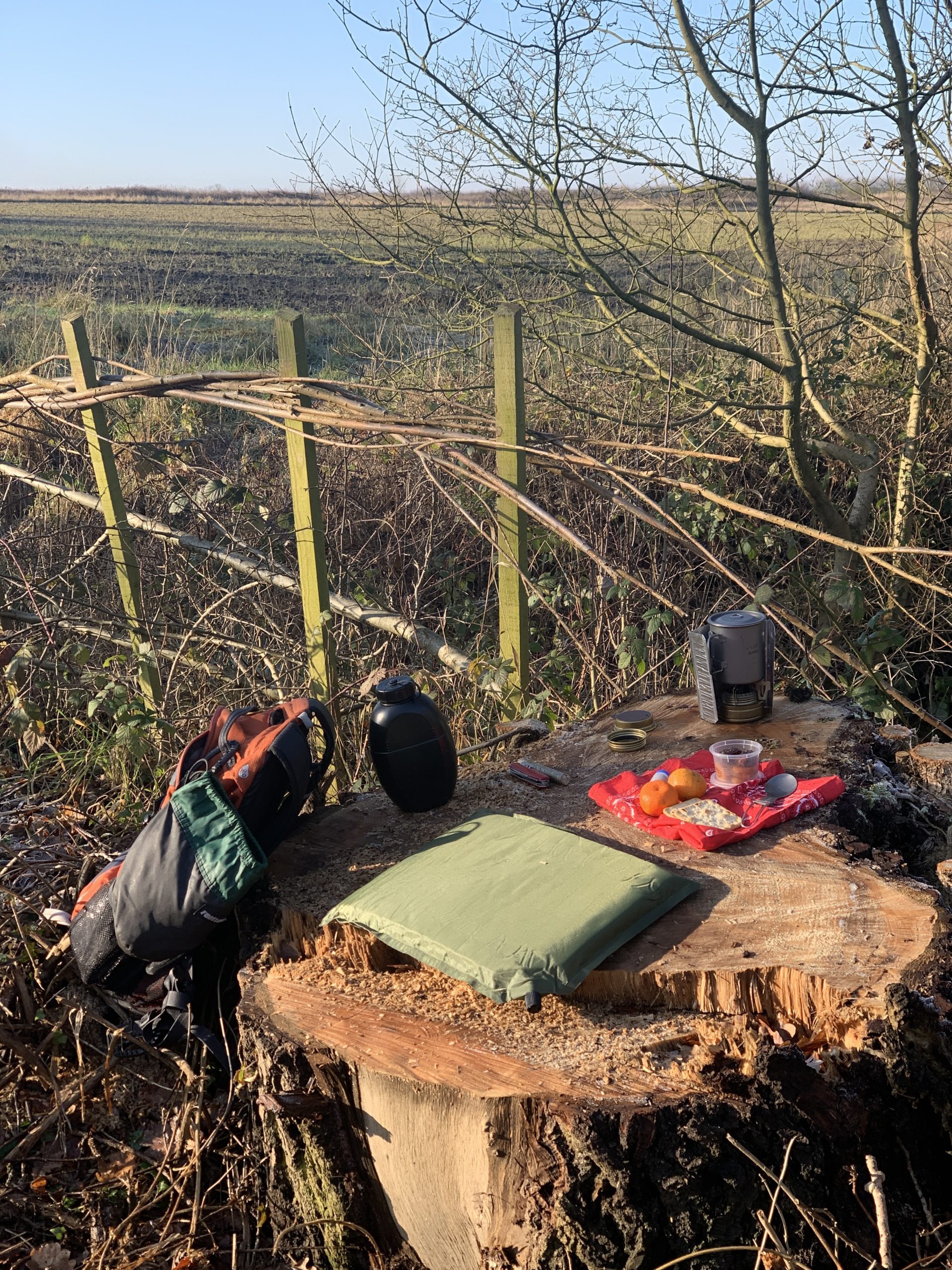
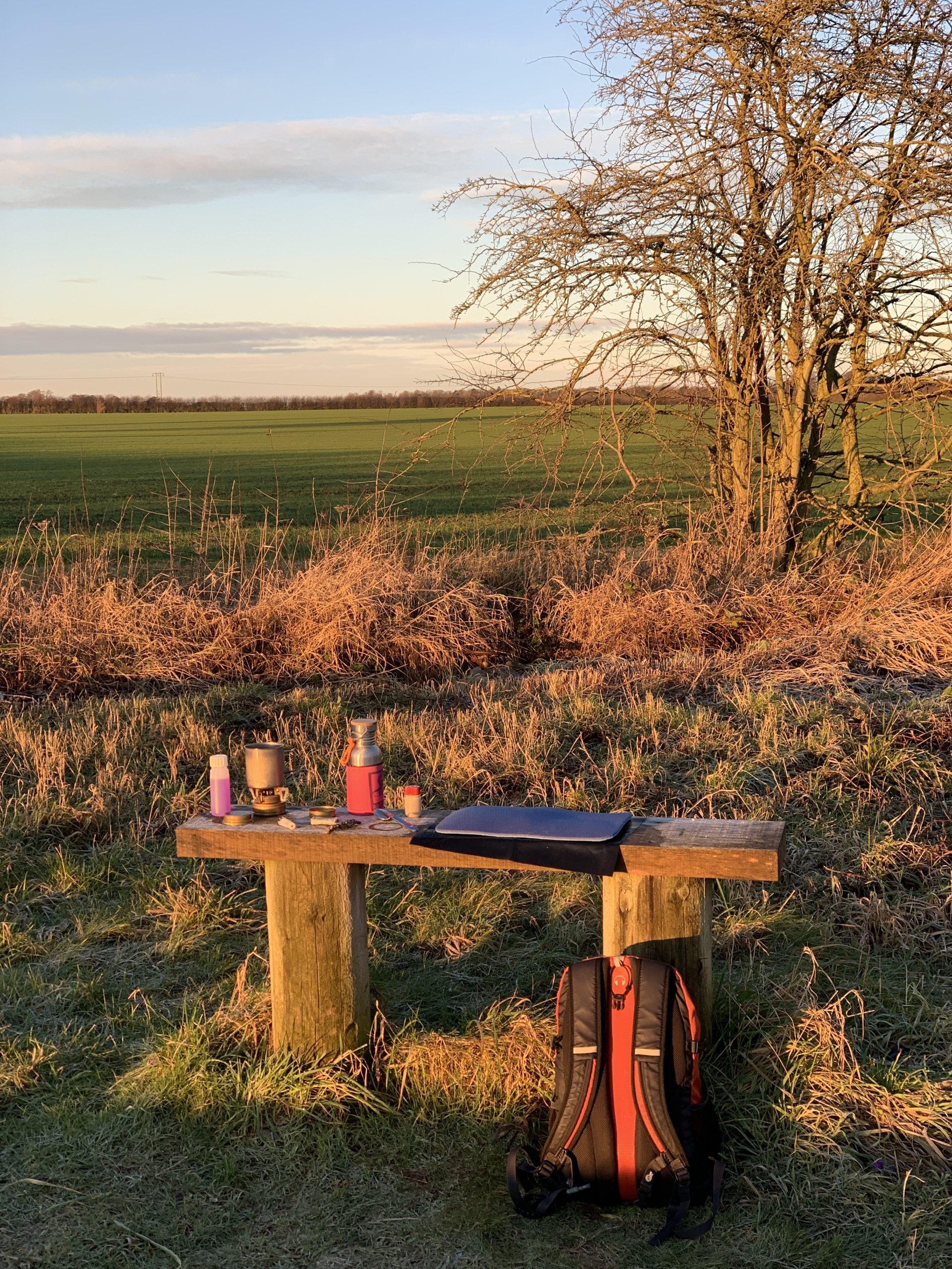
At lunchtime I found a convenient bench, with a great view.

Grassmere
Grassmere

Alpkit cooking system
Alpkit cooking system with Sea to Summit pack and Platypus 1l roll up water bottle

Robin
I had a number of visitors when I stopped for lunch

Rydal Water
Rydal Water

Walking in the Rydal Valley Read More »

Thank you Alpkit – great customer service

A couple of weeks ago, on a trip, I had a problem with my Aplkit Kraku ultra-light stove. When I got home I tested the stove again with a different gas bottle but the join was still leaking. It turned out that over time and use the seal washer had compressed and so was leaking. When I emailed Alpkit and explained the problem they quickly supplied a replacement and a spare washer. I have had the stove a couple of years and use it a lot – Alpkit’s customer service cannot be beaten.

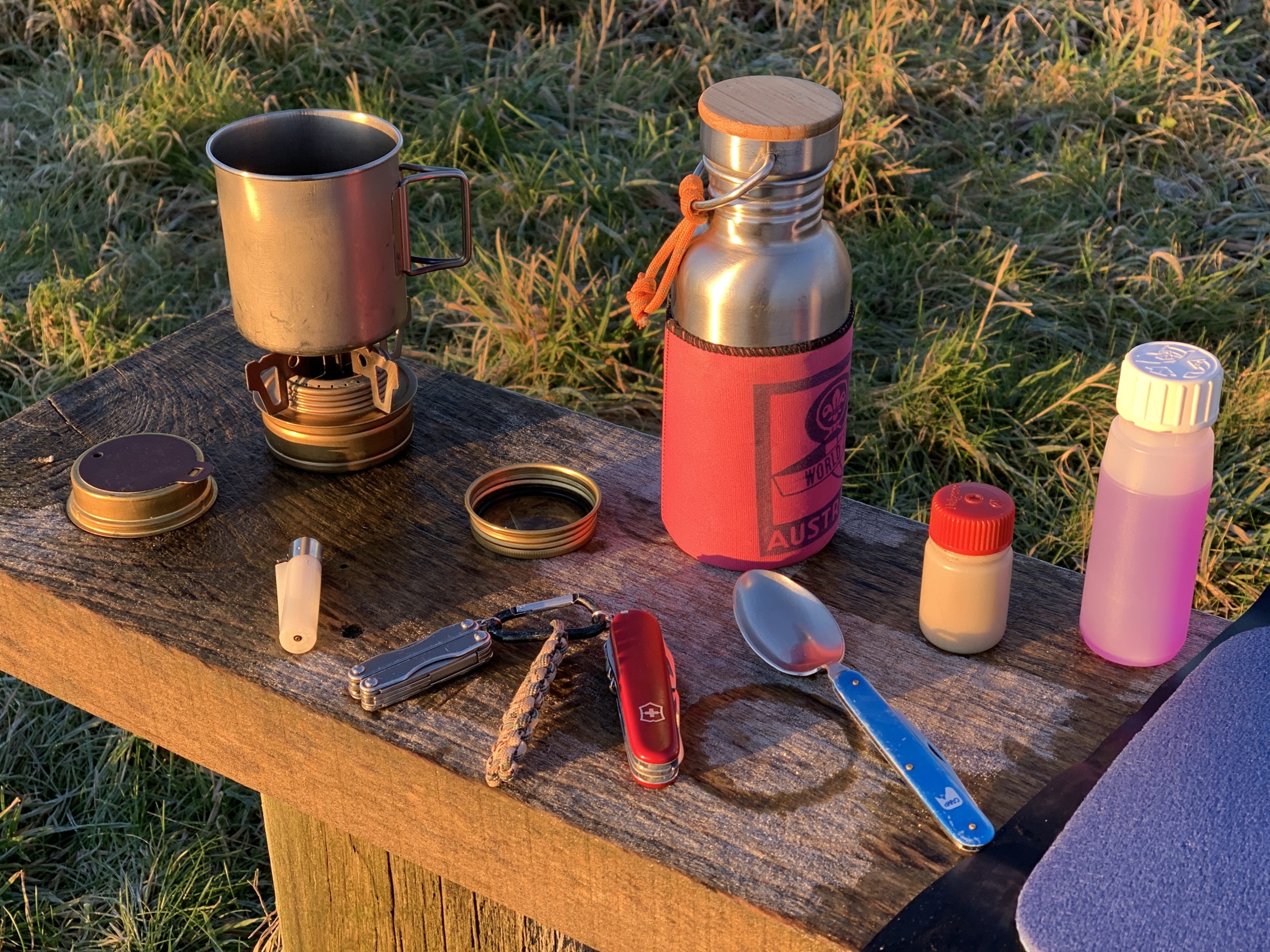
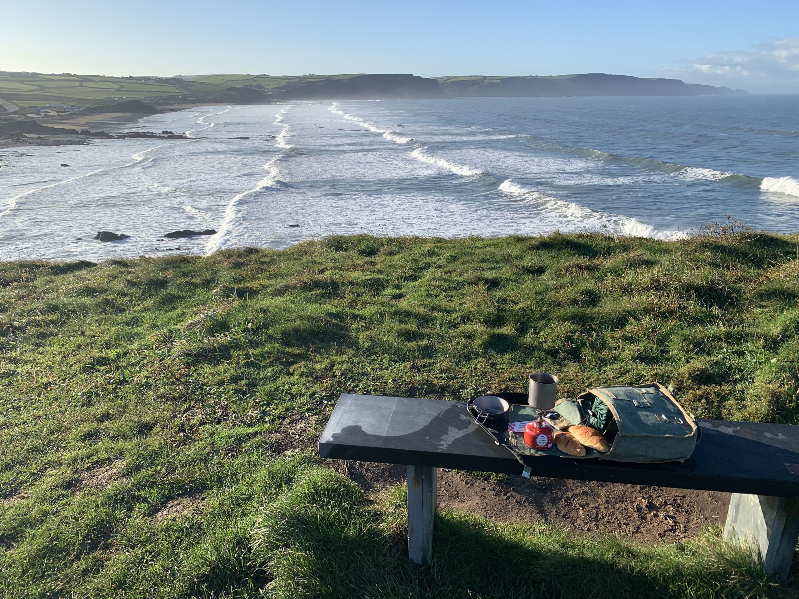
Alpkit ultra-light cooking equipment
Alpkit ultra-light titanium, pot/mug, stove and folding spoon – the recycled Coke bottle holds enough water for a mug of tea.

Out walking and geocaching
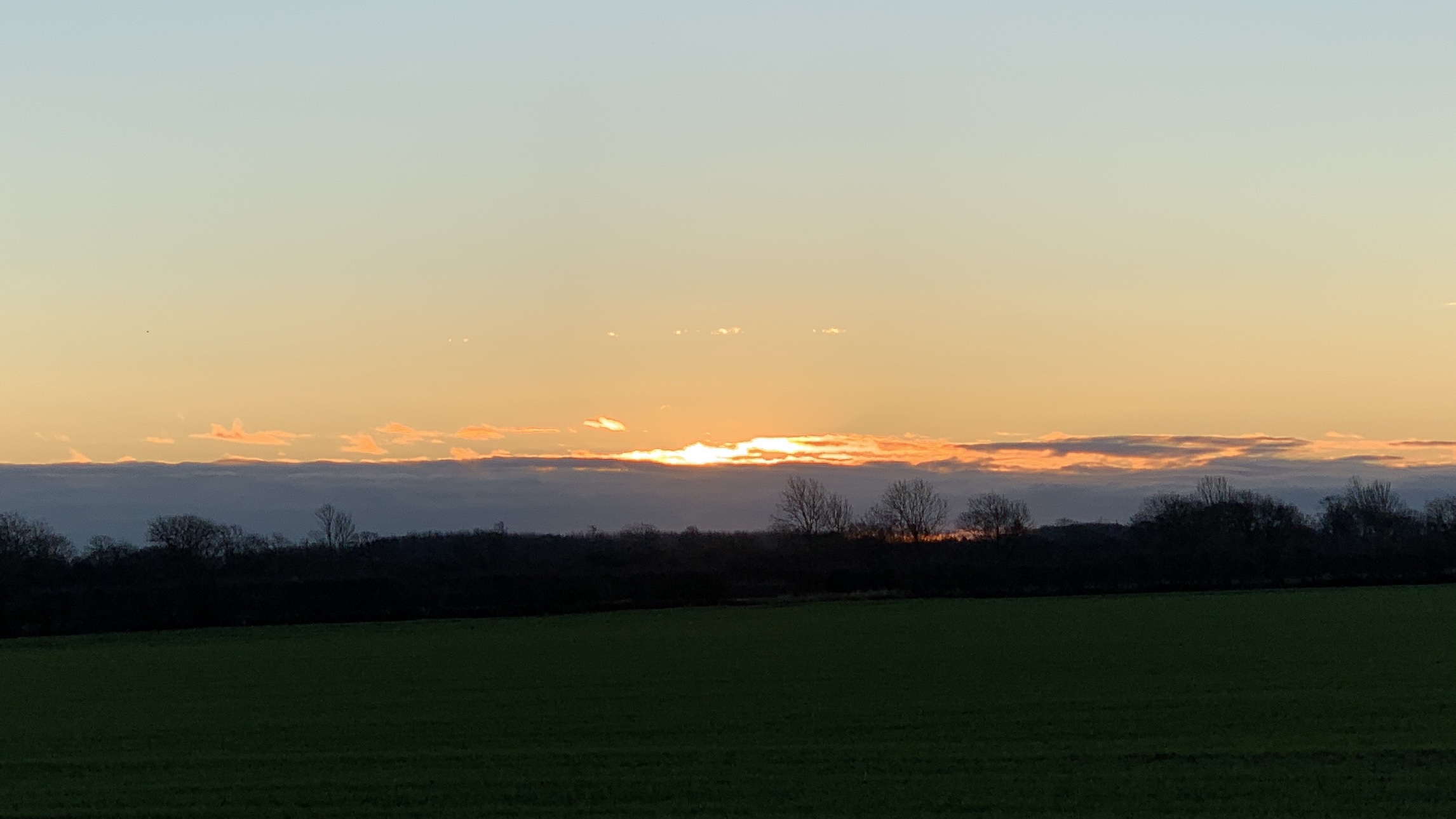
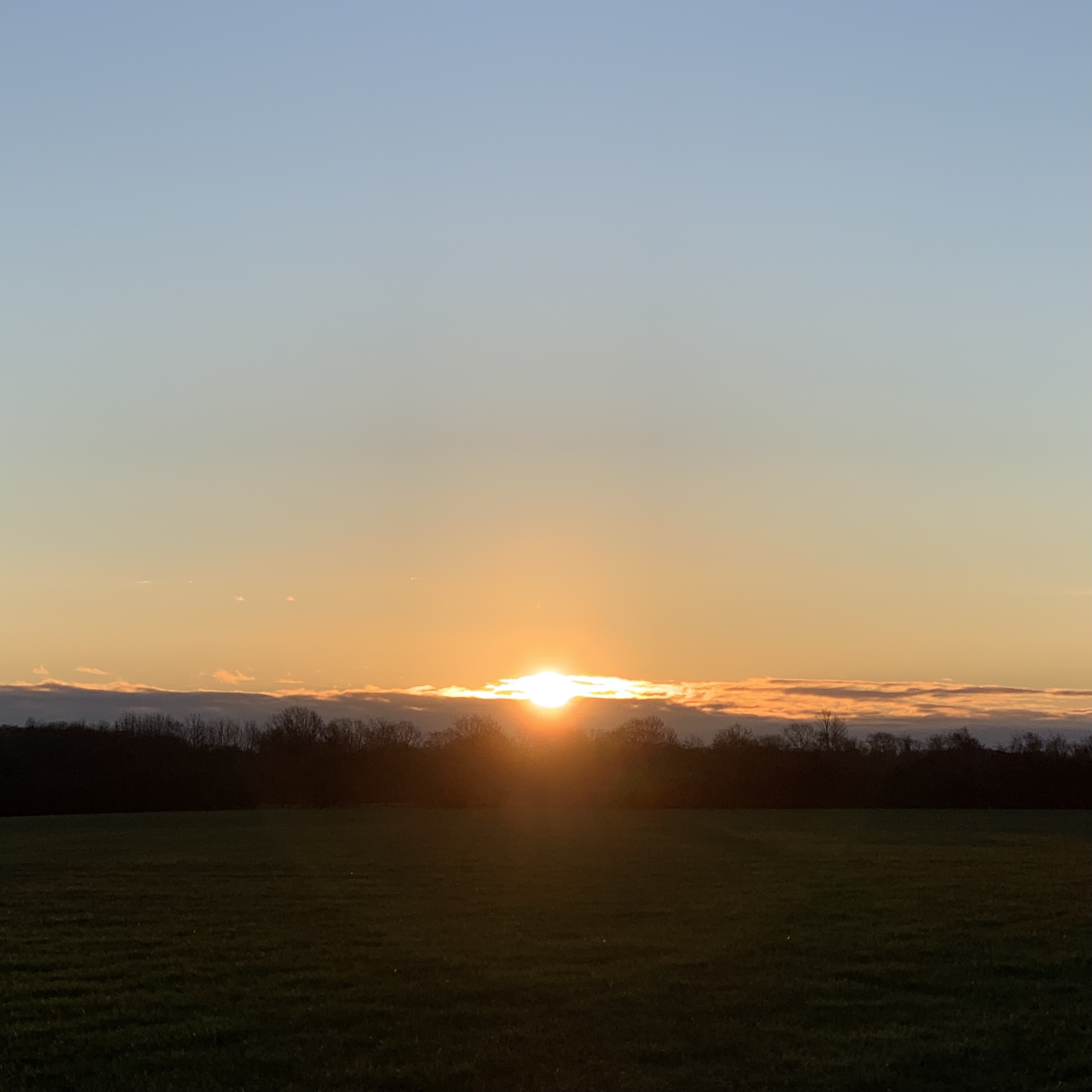
Out walking and geocaching on a sunny, late autumn Sunday morning.

Here are details of my lightweight cooking gear and the pouch of supplies in the photo.

Thank you Alpkit – great customer service Read More »

Walking in Lincolnshire


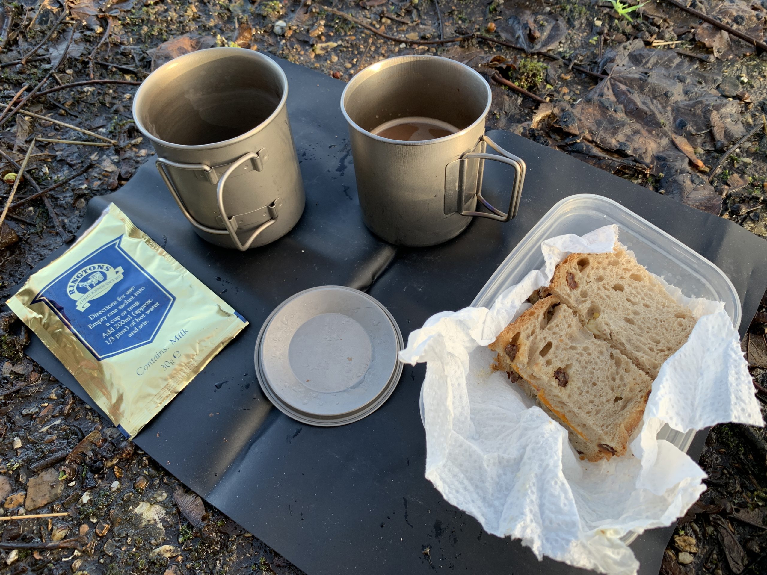
Morning coffee – Douwe Egberts> instant hazelnut nut flavoured coffee.

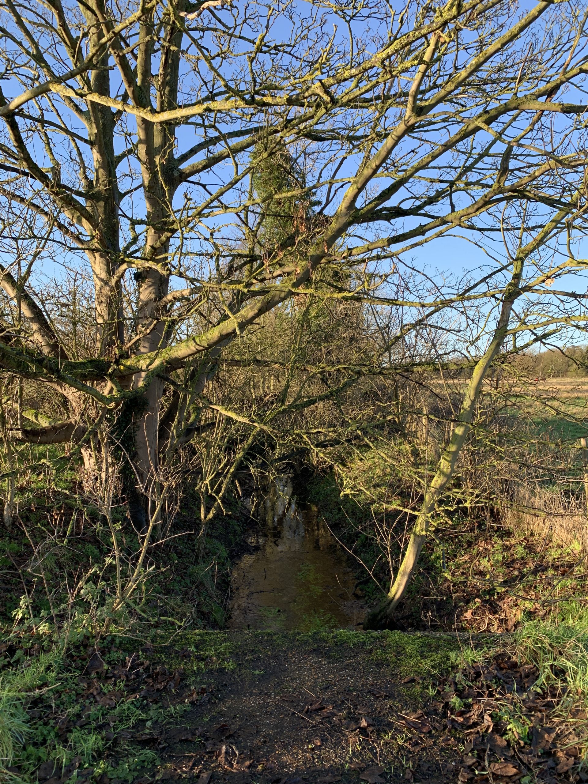
I got out this morning for a walk, some geocaching, photography and a coffee in the autumn sunshine.

I packed light, grabbed my Finnish Haversack, first-aid kit, backpacking cookset and a Sigg bottle for water. I used my M65 jacket, the lined cotten jacket is really comfortable for walking in cooler weather, and Karrimor walking shoes. Unfortunately I still have a problem with my stove – not sure it is safe to use ling term.

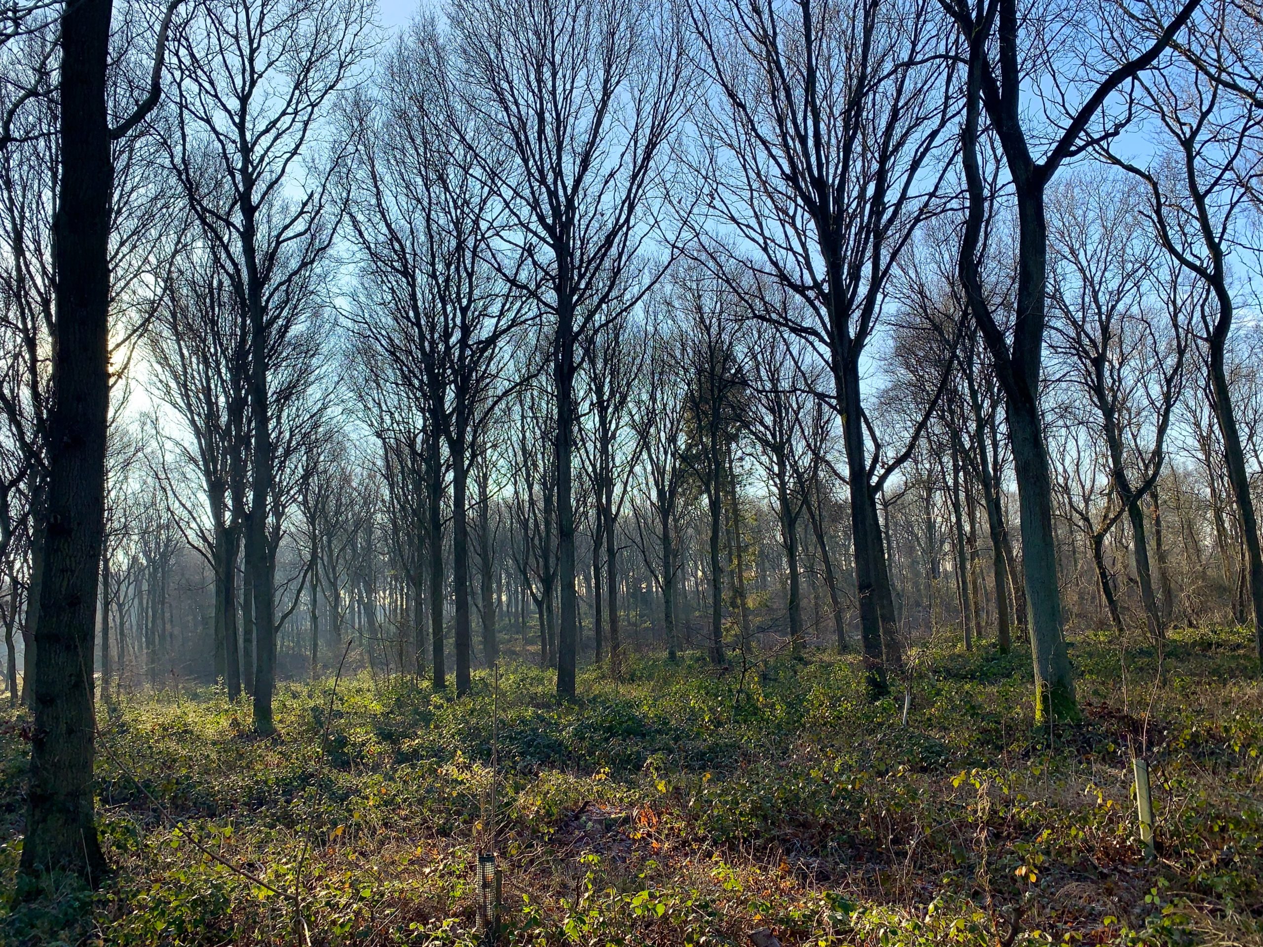
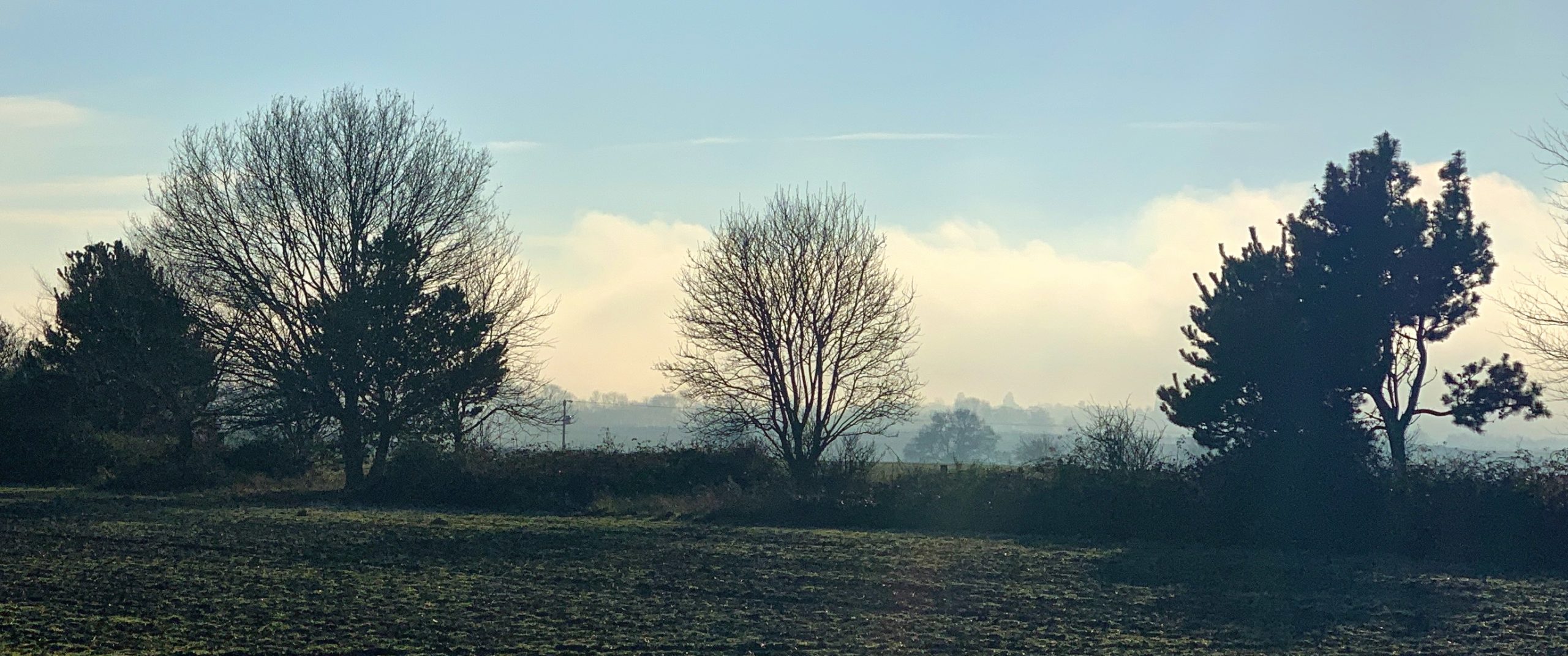
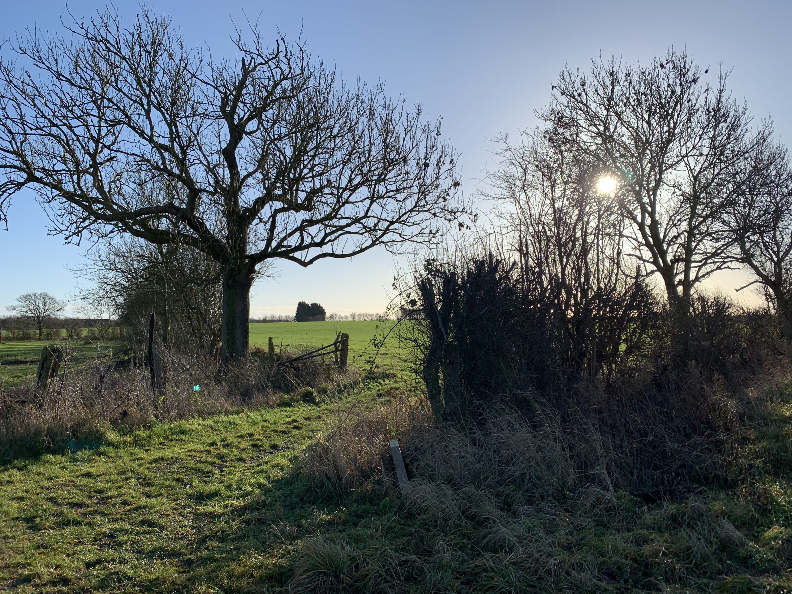
Lincolnshire

Lincolnshire

It was a good opportunity to test a new Garmin etrex 10 GPS.

… it was a short walk, I had to get home in time to watch the Rams play the Giants at Twickenham on the TV!

Walking in Lincolnshire Read More »

Paperless Geocaching Garmin etrex 10

I recently bought a Garmin etrex 10 satnav for geocaching.

Geocaching around Branston - Garmin etrex 10

Geocaching around Branston – Garmin etrex 10

It was a fine autumn morning, a good chance to get out and test the new GPS. I bought the Garmin etrex 10 to supplement my iPhone 6S when geocaching. I expect it be a useful tool when backpacking and hiking.

This summer I have been struggling to find geocaches, as the GPS and Groundspeak app on the iPhone has not been accurate enough. Many people complement their smartphone with a dedicated satnav as they are more accurate. I did not want to spend too much and the Garmin etrex 10 from Blacks looked ideal.

It is a simple, compact, rugged design, with a clear screen and has software installed for “paperless geocaching”.  I particularly liked the fact it uses two AA batteries – one less item to charge when camping.

It was easy to transfer geocaching GPX files to the Garmin from my PC. It was also straight forward to manually input a latitude and longitude and navigate to it – so even if I have not uploaded a geocache list to the GPS, I can look up the co-ordinates on the web and then key them in.

Garmin etrex 10 GPS

Maps

The etrex 10 came with a very simple world map installed on it. Another trip to the internet and I found out how to replace that with a better (but still quite simple) map. See the following links:

First you need Garmin’s Basecamp software to access the GPS – https://www.garmin.com/en-GB/shop/downloads/basecamp

I got the replacement maps from here – http://www.gmaptool.eu/en/content/europe

Before I did anything I connected the GPS to my laptop and backed up the installed software. If something went wrong I needed to be able to restore my newly purchased device. (A simple copy and paste backed things up.)

The storage is limited on the Garmin etrex 10, the Basecamp software gives the option to install selected sections of the larger maps. I balanced the installed map sections against the geocaching data.

Note – For the transferred map to display on the etrex 10, you must delete the base map, gmapbmap and rename the new map to gmapbmap.img.

Did it work better than my iPhone with the Groundspeak Geocaching app?

Yes it did. The iPhone 6S showed the cache was 4m away, the Garmin said 1m and it was right. The replacement maps were useful using Memory Map with 25k OS maps on my smartphone was essential for accurate navigation.

I configured the dashboard on the etrex 10 to display a pointer, to point at the Geocache location. This is far more accurate than the pointer in the Groundspeak app. Often when the app is being used to navigate to a cache it can be 180 degrees wrong! I then have to wander around for a while for it sorts the location out. The Garmin pointed right at the cache.

Overall the test today proved the Garmin etrex 10 to be a worthwhile purchase for Geocaching.

Paperless Geocaching Garmin etrex 10 Read More »

Geocaching – Silverhill – A good day for snails

Silverhill is just across the road from the campsite, a good place to spend the day walking and it is full of geocaches! This was one of the reasons I came to this site.

I packed my brew kit, lunch and put Terry Pratchett’s, Making Money audiobook on my iPod and set off.

Fungi
This grew by my tent door overnight!

“Testing for Gas”

"Testing for Gas"

"Testing for Gas"
click on the above image for a larger version

"Testing for Gas"

Silverhill

Snail

Snails

Snail

Lunch stop
Lunch stop

Fungi

Geocaching – Silverhill – A good day for snails Read More »