Technology

Camera App Try Out

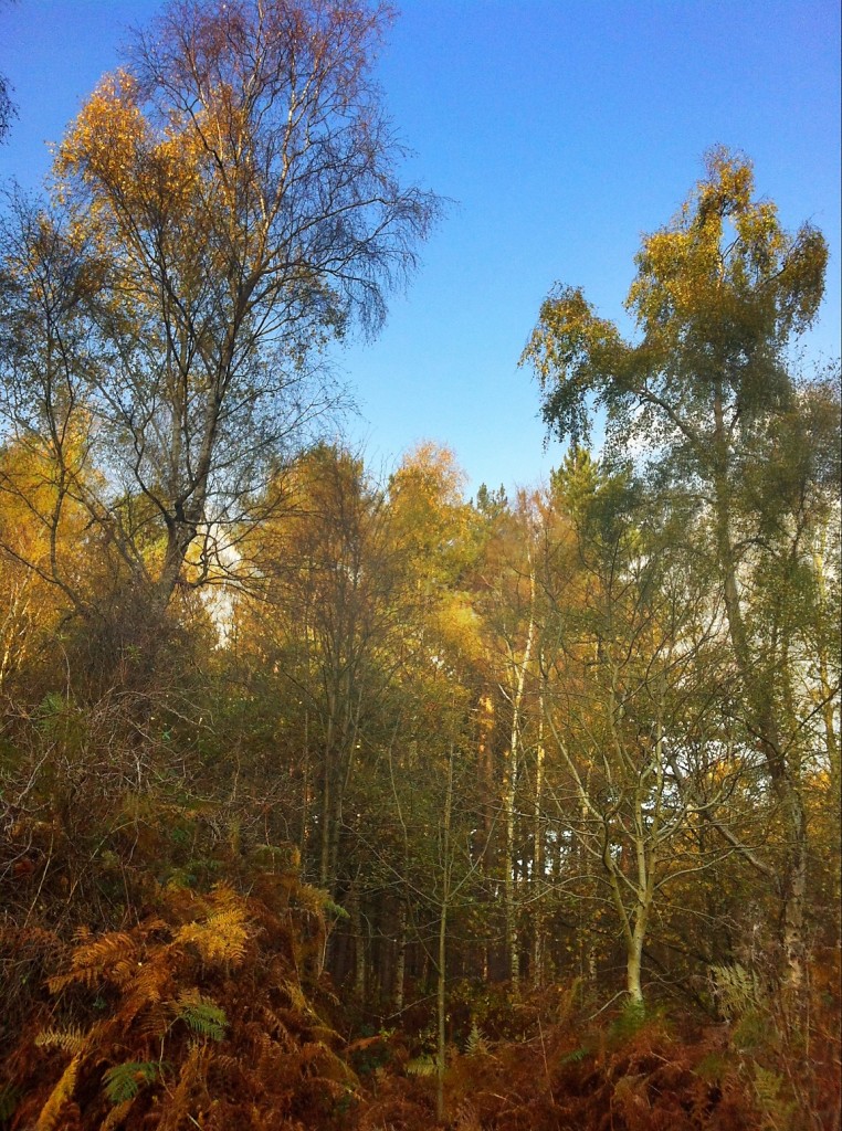
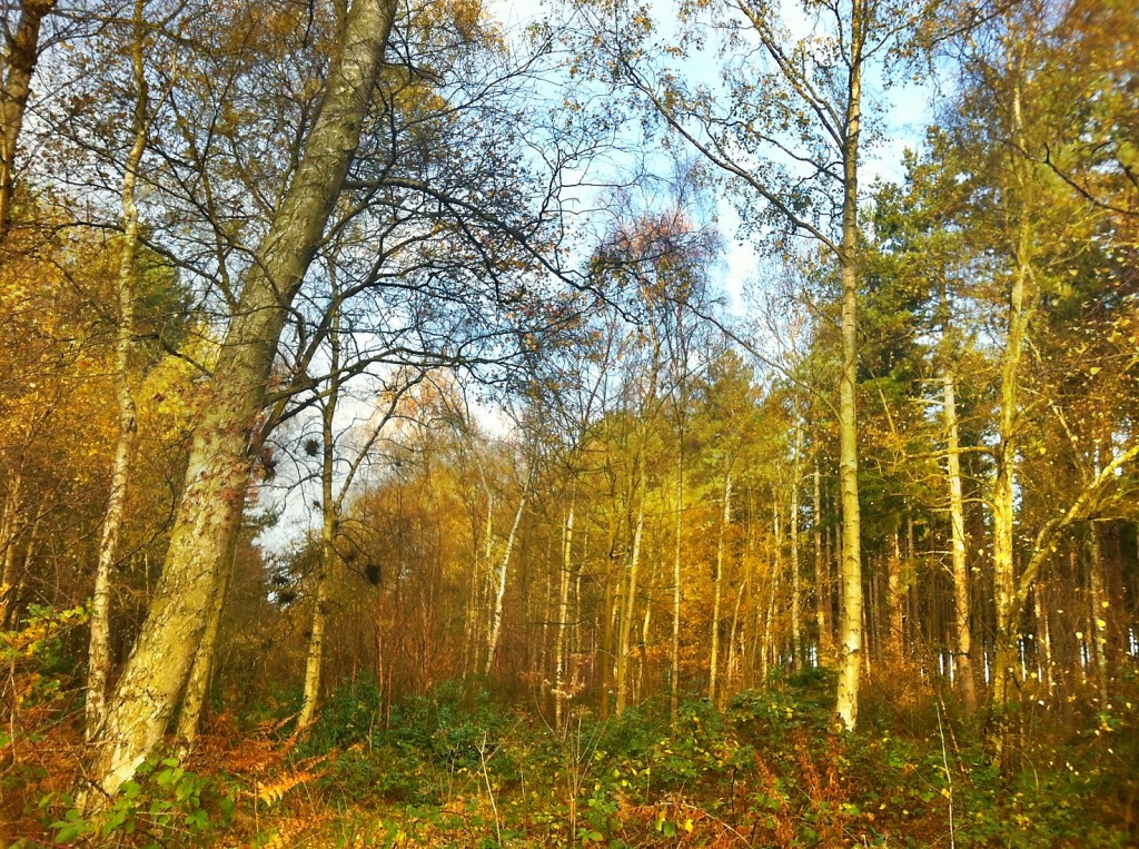
Yesterday shooting from the patio window, into a well lit scene, gave a good opportunity to shoot some comparison images using my favoured camera apps on my iPhone 4.

Clicking on the images will open the original full size images, so you can check the actual quality of the shots.


iPhone 4 – Apple Camera App (iOS 5)

Without HDR

iPhone 4 - Apple Camera App (iOS 5) no HDR

With HDR

iPhone 4 - Apple Camera App (iOS 5) with HDR

Camera+

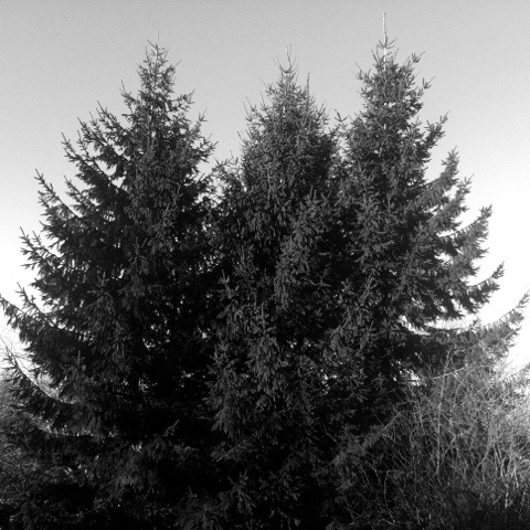
The exposure was taken from towards the top of the tress

Camera+ exposure taken from towards the tops of the trees

below – applying the Camera+ “Clarify” filter

Camera+ applying the built in "Clarify" filter

Pro HDR

Pro HDR

below – with a little more colour saturation

Pro HDR with a little more colour saturation added

6×6

And for something different, retro square shots

6x6 Mono

6x6 Colour

Camera App Try Out Read More »

Bob Heil presentation to Lincoln Shortwave Club

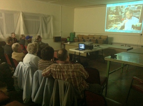
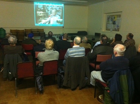
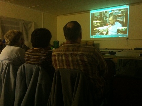
Bob Heil, K9EID, gave a presentation this evening to the Lincoln Shortwave Club from his radio shack/lab in Illinois USA, via Skype.

Octagon Technology set up the wifi network and presentation equipment for the event.

Who is Bob Heil? He built that box for Peter Frampton, friends with Joe Walsh, worked with The Who, the Grateful Dead etc – get more details from his Wikipedia page.

20111214-213057.jpg

20111214-213119.jpg

20111214-213238.jpg

It was excellent.

Bob Heil presentation to Lincoln Shortwave Club Read More »

Loading gpx Files into Memory Map on the iPhone

Since writing this article I now follow the same process but keep the files in my Microsoft OneDrive.

Read more about Backpacking Geek – click here.


One big difference between the versions of Memory-Map on my old Windows 6.5 phone and my current iPhone is the way they handle imported routes from the PC version of the software. The Windows version simply connected to the complete route library in the PC application, then on the phone you could choose which routes from that list to show, turning them on and off as required. On the iPhone you have to load the routes individually and once you have finished with that route unload it and then load another (keeping too many routes loaded at one time impacts the performance of the app). The “Save as” gpx file in Memory-Map PC version solves the problem.

But the issue is getting the routes into the app from Memory-Map on the PC. The first thing you have to do is save the individual routes as gpx files on your PC. In my Memory-Map I have a category for Lincolnshire – which has over sixty entries, both routes and location markers – if I save the whole of this category as a gpx file when I open it on the iPhone it is too confusing on the screen to be useful – another reason to limit the open routes/markers on the iPhone.

In the knowledge base on the Memory-Map website it describes how to email gpx files to your iPhone for use in the Memory-Map app. However I use my Dropbox account to transfer (and store) my gpx routes and markers.

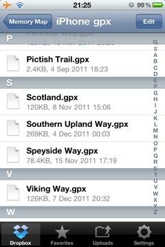
It is easy to save gpx files on my PC with descriptive names, into a Dropbox folder, these then synchronise to my Dropbox online. Using the Dropbox app on my iPhone I can access the files.
20111207-212826.jpg

gpx files in a Dropbox folders

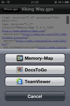
These files are opened in Dropbox, by tapping on them – they open as text files. By then tapping on the “open in” icon I can choose to open the file in Memory-Map.
20111207-212925.jpg

showing the “open in” option

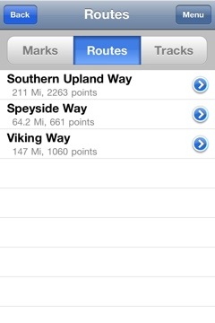
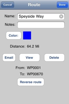
The gpx file is loded into the Marks and Routes section of the Memory-Map app.
20111207-213016.jpg

the gpx file available for use in Memory Map

From there it can be opened and used on a map.
20111208-124813.jpg

20111208-124832.jpg

I have a number of gpx files available for free download here – more are always being added.

This article is sponsored by Octagon Technology.

Loading gpx Files into Memory Map on the iPhone Read More »

Southern Upland Way- .gpx file

I have added a plot of the Southern Upland Way to my Download page – the file is the standard .gpx format so it is useable in a wide range of GPS units and applications. I am usiing it in Memory Map and on my iPhone.

There were some problems plotting the route on my 50k OS map – at the following locations – the route was not clear on the map.

  • Caldons Wood
  • Sanquhar
  • Wanlockhead
  • Sweetshaw Brae
  • Beatnock
  • Galashiels
  • Abbey St Bathans

If you use this route you will have to take care over those sections.

I plotted the route to skirt Glengaber Hill.

This is a walk I am planning to undertake in the summer of 2013. The plan at this time is to take fourteen days, carry lightweight camping gear and to stay in a mixture of campsites, wild camping and bed and breakfasts. Carrying food as required and resupplying along the route.

Southern Upland Way- .gpx file Read More »