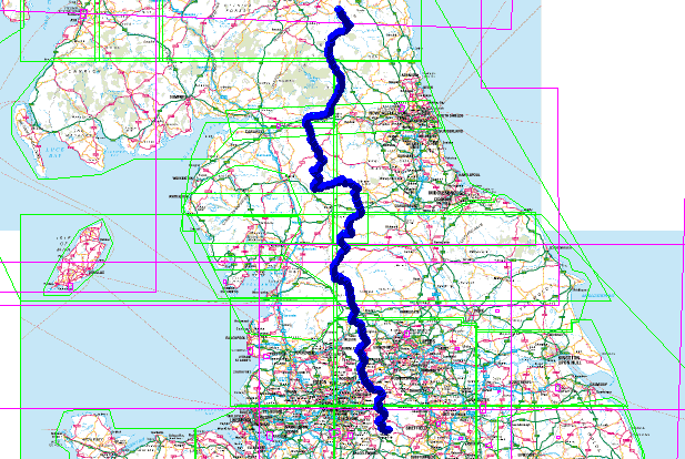
Pennine Way Route
Pennine Way Route gpx file is available on the Downloads page. This route was created using Memory Map on my laptop and then used in the field on my smartphone – read more about my backpacking tech here.
This English National Trail connects Edale to Kirk Yetholm crossing the backbone of the country, passing through a number of National Parks. Near Keld it also crosses Wainwright’s Coast to Coast path.
Fifty Years of the Pennine Way

Free Downloads
I have a selection routes, in GPX format and a lightweight backpacking gear list spread sheet available for free download – see here.
Loading gpx Files into Memory Map on the iPhone
Read my article – here – on how I keep my Memory Map files in Microsoft OneDrive so they are available on my iPhone.
This article is sponsored by Octagon Technology – suppliers of hosted secure email compatible with CJSM Secure eMail – Criminal Justice Secure eMail


